
Englewood Neighbors: Record Sources
For an Englewood block, the first useful question is usually about adjacent land: which parcels share a boundary or face the same street segment, and what official property record belongs to each parcel. The county map and tax record answer that question differently from a voter file, a deed index, or a civic contact page. Keep the source and its limit together. A parcel record identifies land and ownership evidence. It does not prove a social relationship, a full household, or a current occupant.
| Source | What It Shows About a Block | Access |
|---|---|---|
| Bergen GIS parcel viewer | Parcel shapes, block and lot, adjacent parcels, and available map layers | Free public viewer; map-currency caveat |
| Tax list or parcel card | Owner, situs, possible mailing address, assessment, and classification | Public annual list or municipal assessor |
| Bergen deed index | Transfers and legal-description chain for a parcel | Web records from 1970 forward; older counter or archive route |
| Voter file | Registered voter names, address, and district only in lawful list form | Commissioner request with statutory limits |
| Permit and certificate record | Construction or use history by address where releasable | City forms and request route; no public results index located |
| Public community contacts | Events, organizations, and public officers where posted | Organization or city contact pages; member rosters remain private |
The Bergen County Parcel Viewer supplies the map orientation, while the Bergen property-record entry point leads to assessment channels. A shared boundary is a land fact. A shared surname, a common mailing address, or a nearby lot still needs record-specific corroboration before it suggests anything more.
Mapping Englewood Neighbors
The block method begins with one subject parcel. Open the county viewer, select Englewood, find the address if the live field is available, and click the subject parcel. Record the block, lot, and map location before moving. Then pan without changing the municipality and click each parcel that shares a boundary or fronts the same block face. This produces a repeatable list of nearby parcels instead of a vague radius.
- Locate the subject parcel in the Bergen County Parcel Viewer and save its block, lot, and map position.
- Pan along the same street segment and select each shared-boundary or block-face parcel.
- Record each adjacent block and lot, then compare its official tax detail with the subject parcel.
- Check the current owner and legal description in the Bergen land index when a transfer question remains.
- Use the Englewood street directory for a full named-street chain rather than extending a block search into every address on the street.
Each click should be treated as a separate parcel record, not as proof that the people connected with two parcels know one another.
A buffer or radius tool was not confirmed in the public county material. Do not claim one is available. If a selection or identify control appears in the live map, use click-adjacent parcels; otherwise use careful pan and a consistent block face. The map is useful for orientation, but it is not a survey.
Englewood Parcel Detail Checks
After mapping the block, cross-check each parcel with the tax list and the Bergen County Clerk Land Records search. The tax record can identify the owner, situs, possible mailing address, assessment, classification, and block and lot. The deed index adds parties, recording date, document number, and legal description. Read the legal description before assuming an old transfer belongs to a modern street number, especially where a lot has been split or combined.
The county GIS page says the viewer was marked updated May 2022. That means the display can lag an actual transfer or differ from the current assessor record. When the map, tax listing, and recorded deed do not agree, request the current parcel card from the municipal assessor instead of choosing the most convenient result. The Englewood assessor is the authoritative local route for a current tax-record question.
- Block and lot
- The municipal tax-map identifiers that connect a parcel to assessor and deed research.
- Situs
- The physical parcel location in Englewood. It is not the same field as the owner's mailing address.
- Legal description
- The recorded land description, often based on block, lot, metes and bounds, or a referenced map.
- Recorded transfer
- A deed or related instrument naming parties and a recording date. It identifies a land transaction, not every resident.
Daniel's Law can redact covered-person owner or home information from map and tax material. A corporate, vacant, condominium, institutional, or out-of-town mailing record is another reason not to translate ownership into a claim about Englewood neighbors.
Englewood Voter Records by Block
The New Jersey Voter Search is for an individual's registration check. It is not a public block-browse tool. A search for Englewood neighbors cannot be built from individual voter checks. Searching a single name can corroborate that person's registration status when the state form accepts the identity details, but it cannot establish who else lives nearby and a no-match does not mean a parcel is empty.
New Jersey permits regulated county-list access through the Commissioner of Registration. N.J.S.A. 19:31-18 caps the reproduction cost at $375, excludes signatures and protected addresses, and prohibits commercial or charitable solicitation. The lawful file may be arranged by election district rather than street. Use it only for an appropriate personal, civic, or historical purpose, and keep its protections intact.
Englewood voters are also organized by ward and election district. Those boundaries are not parcel lines and are not a substitute for tax geography. Voter data can show an election connection under the statutory rules; it does not prove ownership, social ties, or a complete block population.
Englewood Community Contacts
Public organization pages can add a community layer without turning private membership into a lookup. For Englewood neighbors, the city's public quick links name the Englewood Chamber of Commerce and houses of worship including St. Paul's Episcopal, Congregation Kol HaNeshamah, Kesher, Metro Community Church, Community Baptist Church, and The Church of Jesus Christ of Latter-day Saints. These are public contact leads. The city material did not verify a consolidated neighborhood-association directory or a member roster.
| Public contact | What is documented | Appropriate use |
|---|---|---|
| Englewood Special Improvement District | Public organization page for district and community context | Use only the public district information and contacts it displays |
| Englewood community quick links | City-listed Chamber and houses-of-worship contacts | Use published contacts and public events, not private participation lists |
| Englewood Historical Society | Projects, house-history context, and public historical work | Ask permission for research help; membership details are not a public roster |
| Bergen County Historical Society | Collections and county history research context | Use its public research contacts for historical material |
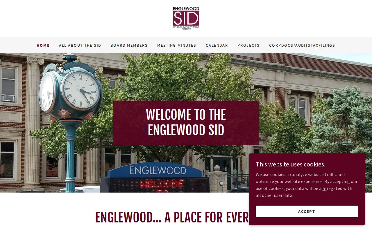
Its public organization information provides district context, but it is not evidence of a resident, neighbor, or membership list.
The Historical Society and BCHS can supply history, photographs, directories, and the Then & Now house-tour context. Their memberships and personal contact lists remain private. Public minutes, event notices, or published officer contacts can establish a civic connection without identifying every participant.
Englewood Wards and Block Geography
Englewood has four wards, approximately equal in population, with four ward council members and one at-large member. Wards are civic and election geography. They differ from ZIP areas, property boundaries, and a visual neighborhood. Use a current ward or election-district source for meetings and district issues, but do not label a ward as a neighborhood association or use it to define every parcel on a block.
The distinction has local historical weight. Englewood's named streets were laid out from six farms in 1859, then the area moved through the 1871 township division and city incorporation completed in 1899. Older references can therefore use a broader Englewood geography than the present city. In a historic record, follow the legal description and date rather than assuming a present-day ward or street label always applies.
Note: ZIP, ward, parcel, situs, mailing address, and legal description are different geographic keys.
Englewood Official Record Checks
For a specific fact about nearby land, official sources are more dependable than an unnamed commercial data-broker category. Those services can combine parcel extracts, address history, marketing data, and user submissions. Their records may be stale, merge people with similar names, or omit protected information. An official source can also be incomplete, so compare the map, current tax card, and recorded deed rather than treating any one display as final.
| Channel | Best use | Limit |
|---|---|---|
| Official parcel, tax, and deed records | Verify parcel identity, ownership evidence, legal description, and transfer dates | Owner is not necessarily an occupant; map or annual data can lag |
| Regulated voter channels | Check a person's own registration or request a lawful list through the Commissioner | No public block browse; signatures, protected addresses, and ballot choices are not public |
| Commercial data-broker category | At most, a lead to verify with a custodian | May contain stale, mixed, or unsupported records |
For a transfer question, compare the owner name on the tax card with the grantee or grantor in the land index and the legal description. For a civic question, use a published meeting or organization contact. These separate trails produce a clearer result than a generic people list.
Englewood Neighbors Privacy Limits
Even a careful map process has firm boundaries. It cannot reliably show renters, every household member, utility or delivery customers, motor-vehicle residence, private association membership, or confidential court, vital, and adoption records. Adjacent parcels establish a land relationship, not a social relationship. A public contact page can confirm an organization exists; it does not establish who belongs to it.
New Jersey's Address Confidentiality Program, N.J.S.A. 47:4-1 et seq., provides eligible people with a substitute legal address for new state and local records. Daniel's Law, N.J.S.A. 47:1B-1 et seq., protects covered-person home information in state, county, and municipal web records. Redactions are part of a lawful record, not a missing-data problem to work around. Sealed, juvenile, vital, and adoption records have separate limits.
Lawful personal use. Use Englewood neighbor records for a defined community, family-history, property, civic, or personal-safety purpose. Do not use them to watch, threaten, harass, or intimidate anyone.