
Trace an Englewood Street
An address-led search in Englewood starts with land records, not a broad name query. The municipal tax record and parcel viewer tie a street number to a legal municipality and a block and lot. That parcel key is the steady link when a deed uses a legal description instead of a modern street number. Ownership and occupancy are not the same thing. A tax card may show the assessed owner and a separate correspondence address, while a historical telephone listing may show one subscriber rather than every person connected with the address.
- Search the Bergen Board of Taxation property-record entry with Englewood and the street number or name. Save the owner exactly as indexed, the situs, block, lot, tax year, and classification.
- Open the Bergen County Parcel Viewer, find the same point, and click the subject parcel. Pan along the street one parcel at a time instead of assuming the first map result covers the whole block.
- Use the owner name, block and lot, or legal description in the Bergen County Clerk land-record index. Read the newest deed first, then follow the prior seller backward as a grantee.
- For voter information, use the New Jersey Voter Search only to check an individual registration. It is not a public street-wide browser.
- For a past address lead, ask a library or the Bergen County Historical Society about the 1900 Tillotson microfiche and the confirmed 1959 and 1961 Englewood classified telephone directories. Match any listed name against a deed, newspaper, or census record.
The sequence is address to parcel, parcel to owner, owner to deed, then a regulated voter file or historical directory for a narrower question. It prevents a mailing address, a recorded owner, and a listed household from being treated as interchangeable facts.
Englewood Street Directory Parcel Search
The annual tax list is the best current starting point for an Englewood street directory search. New Jersey's Property Explorer describes annual tax-list information as including owner and location, block and lot, assessed land and building value, prior-year taxes, and classification. A transfer made after the list is certified can lag behind that annual snapshot. For the freshest parcel card, a tax-map question, or clarification of fields not exposed online, contact Englewood Tax Assessor Patrick Wilkins at 201-871-6621 ext. 712.
Try the address as printed first. If it fails, try an abbreviated street form, the owner surname, or the map. A business, trust, estate, or company can appear as the owner, so a surname-only search may miss a parcel. The county assessor list is the published contact route; it does not make a property card proof that the owner currently lives there.
| Englewood field | Control | How it helps an address search |
|---|---|---|
| Municipality | Dropdown | Select Englewood, not Englewood Cliffs or a nearby municipality. |
| Street address | Text or autocomplete | Use number and street name; test historic or abbreviated forms when needed. |
| Owner name | Optional text | Check surname variants and entity, trust, or estate names. |
| Block and lot | Numeric text | Carry this municipal parcel key into deed and map research. |
| ZIP and tax year | Optional field and dropdown | Use ZIP only as a postal filter and treat the annual year as a snapshot. |
| Map select | Map control | Choose a parcel when a typed address returns no clear match. |
Note: A local card can have more detail than the annual state summary, so ask the assessor which fields and copy route apply to the specific parcel.
Englewood Street Map Browse
The county viewer makes a street segment easier to inspect than a series of isolated searches. From the Bergen County GIS page, open the parcel viewer, select Englewood if a municipality filter is offered, search the address, and click the parcel. Its available parcel and planning layers can supply map context. Pan or zoom to nearby parcels, but use the geometry for orientation only. The county page labels the viewer as updated in May 2022, and a map is not a survey.
Bergen County's GIS information page is the source for this Englewood street directory image and the route into the parcel viewer.
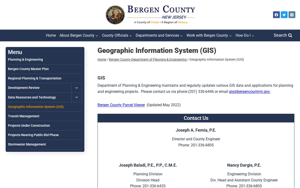
The viewer can identify a parcel and its tax identifiers after a map click, while its layer list and tool names can change. Bergen GIS can be reached at 201-336-6446 for map questions; when map detail and the municipal record conflict, the assessor's current card is the authority to consult.
Deeds Along Englewood Streets
The land index adds time to an Englewood street directory result. The Bergen County Clerk's public search covers deeds, mortgages, and other public documents recorded from January 1, 1970 to the present. Search the current owner as grantee, then read the earlier grantor. That seller becomes the next grantee search. Compare the legal description, block and lot, and any referenced map each time. A street number can be absent in an older instrument, and a later subdivision can make the same number a poor match for an earlier tract.
The Clerk advises searchers to try spelling variations. Use party names, dates, document type, municipality, legal description, block and lot, or a book, page, or document number where the live interface offers them. A mortgage, lien, or map may be useful context, but it does not establish present ownership or occupancy on its own. The Clerk's Registry Division and land-record services page provide the office route; the land-record team phone is 201-336-7036.
The online cutoff matters. For a result before 1970, take the legal description and any book or page reference to the county counter and then use the New Jersey State Archives guide to Bergen deeds, 1715-1901. The access route for the intervening 1902-1969 run was not verified in the research, so confirm county books, microfilm, or FamilySearch availability instead of assuming a web search is complete.
Englewood Street Permit Clues
Permit and inspection records can date work at an address without serving as a resident list. Englewood Building and Code handles permits, certificates of occupancy or continued occupancy, contractor registration, demolition, development, signs, and related forms. Construction-inspection scheduling moved to the SDL Portal on October 1, 2024. A first-time account, the responsible person, and approved plans are part of the documented inspection process.
Englewood's SDL inspection request portal is the source for this Englewood street directory image.
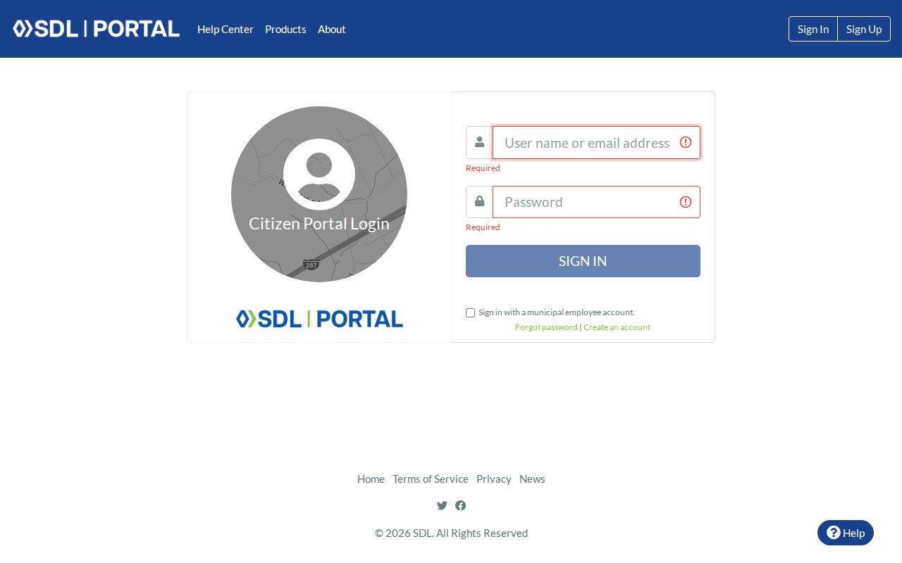
No public indexed permit-result search was located. Request the public portion of a file by address and date through Englewood Inspections or the appropriate city custodian, and do not treat an applicant or contractor as a confirmed occupant.
Englewood Street Records Compared
Each source contributes a different kind of address evidence. The parcel record and GIS point to land and tax identifiers. The deed index documents recorded transactions. A requestable voter list has statutory limits, and an older directory can supply a subscriber or address clue. Combining those sources helps distinguish the taxable owner, the legal parcel, a registered voter, and a historic listing instead of merging them into one identity.
| Address record | Englewood or Bergen keeper | Street-level result | Access route |
|---|---|---|---|
| Tax card and annual list | Englewood Assessor; Bergen Board of Taxation | Owner, situs, possible mailing address, block and lot, values, class | Map or list, then assessor request |
| Parcel map | Bergen Planning and Engineering | Geometry, adjacency, map layers, tax identifiers | Free public viewer |
| Deed and recorded map | Bergen County Clerk | Grantor, grantee, recording date, legal description | Web index from 1970; counter or archives for older work |
| Voter registration | NJ SVRS; Bergen Commissioner of Registration | Individual status or a regulated list | Personal lookup or lawful list request |
| Permit or code file | Englewood Building and Code | Address, work, dates, and releasable status | SDL, city forms, or a records request |
| Reverse directory | Library, BCHS, or archive | Historic subscriber or occupant lead | Reference desk or scan when held |
New Jersey's OPRA, P.L. 2001, c.404, codified at N.J.S.A. 47:1A-1 et seq. and amended by P.L. 2024, c.16, is a route for existing municipal records that are not posted online. A request should name the address, date range, record type, and custodian. OPRA does not require an office to create a new street-by-street database.
Historic Englewood Street Leads
For an older address, the confirmed local leads are narrow but useful. The 1900 Tillotson Englewood & Northern Valley directory is held as Newberry microfiche 3827. Bergen County Historical Society lists Englewood classified telephone directories for 1959 and 1961. A reverse or criss-cross directory, if a reference desk confirms one for the needed year, works from street number to listed subscriber. It is evidence of a listing, not a complete household roster.
Search old names with spelling variants, initials, and the larger historic place labels. The Englewood Public Library digital archive preserves The Englewood Press from 1890 through 1982, which can connect a street, a date, and a public notice. The historical collections themselves belong on the Englewood city directory page; use them here as a check on one address trail.
Englewood Street Jurisdiction Story
Street research has a local boundary story. Englewood was laid out around six farms and registered in 1859. It was within Hackensack Township until the 1871 township division. Teaneck separated in 1891, Englewood Cliffs in 1895, and Englewood's incorporation process began in 1896 and was completed in 1899. An early deed, directory, church record, or census reference to “Englewood” may therefore point to a broader historic area than the current city.
Use the legal description and the county in addition to the street name when a historic address seems to vanish. No official source located a verified Englewood street-renumbering year. It is safer to check a plat or tax-map history than to infer a renumbering from a mismatch. The same caution applies to a modern ZIP label, ward, or neighborhood name because each uses a different boundary system.
Note: The jurisdiction dates are record-location clues, not proof that any particular street was renamed or renumbered.
Englewood Street Directory Terms
These terms keep the records in an Englewood street directory search in their proper lanes. The land records use the legal parcel key, while a directory and a mailing label use everyday address language.
- Parcel
- A defined piece of land in the tax and map system, commonly identified in Englewood by municipality, block, and lot.
- Situs address
- The physical location of the parcel. It is different from the address where a tax bill or other correspondence is sent.
- Plat
- A recorded subdivision or survey map that can explain a lot split, frontage, or legal-description change. The map itself is not a current resident roll.
- Criss-cross directory
- A reverse directory arranged by street address, often used to find a listed subscriber or household lead from a number.
Englewood Street Directory Limits
A street record does not reveal everyone who lives behind a door. Tax data identifies ownership and assessment, not every occupant. A voter registration search is an individual status tool, not a public browse of a whole street. Telephone books can omit unlisted numbers, and a recorded mortgage party may not be the owner or an occupant. Utility customers, delivery records, motor-vehicle addresses, sealed court or vital records, and private membership lists are not an ordinary public street directory.
New Jersey voter lists are available only through the regulated route in N.J.S.A. 19:31-18. A voter may request a copy from the Bergen County Commissioner of Registration at reproduction cost, capped at $375. The law excludes signatures and protected covered-person addresses and prohibits use for commercial or charitable solicitation. The individual voter lookup should never be presented as a street-wide list.
Lawful personal use. Use Englewood street and address records for a specific, lawful personal or civic purpose. Do not use them to stalk, harass, intimidate, or harm anyone, and respect protected addresses and redacted fields.
Address Confidentiality Program participants and people protected by Daniel's Law may have protected address information withheld. A blank result is not proof that a home is empty, that no person is registered, or that a record has been destroyed. Confirm a needed public record with the custodian that holds it.