
Englewood ZIP Codes in Use
Official USPS material located one current city ZIP for Englewood: 07631. It is the primary postal code for Englewood city delivery, not a statement that every address bearing the postal city name lies within the municipal boundary. The table records only coverage confirmed in the research. No official source reviewed identified a second ordinary city ZIP, a separate Englewood PO-box-only ZIP, or a unique ZIP assigned to a local institution.
| ZIP | Areas Covered | Post Office | Notes |
|---|---|---|---|
| 07631 | Englewood city postal addresses | Englewood Post Office, 77 Engle Street | Primary current city ZIP; postal boundary does not necessarily equal the municipal line. |
Do not fold 07632 into an Englewood ZIP code directory search. USPS lists that code for Englewood Cliffs facilities, not as the normal ZIP for Englewood city. The shared word “Englewood” in a place name does not replace the municipality field in tax, deed, or GIS work.
Englewood ZIP Code Facilities
The USPS Englewood Post Office listing gives the local facility details behind the primary code. It lists the Englewood Post Office at 77 Engle Street with facility ZIP+4 07631-9998 and the Englewood Annex at 55 Smith Street with facility ZIP+4 07631-9991. Those are facility-specific ZIP+4 details, not evidence of additional citywide ZIP codes.
USPS location details for the Englewood Post Office and Annex are the source for this Englewood ZIP code directory image.
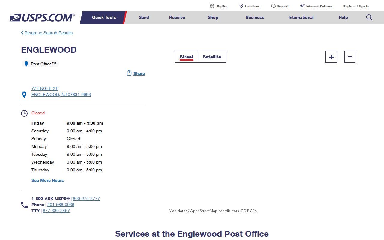
Use the USPS lookup to verify that a delivery address and its postal label are current. It is not a municipal boundary map and does not establish the legal identity of a parcel. For that next question, move to the tax map or the Bergen GIS viewer.
Englewood ZIP Code Property Fields
New Jersey's Property Explorer is a useful companion to the Englewood ZIP code directory because its tax-list material can be searched by property information rather than a postal label alone. Its annual snapshot describes owner and location, block and lot, assessed land and building value, prior-year taxes, and classification. Ownership transfers after certification may not appear until a later annual list, so record the year before drawing a conclusion.
New Jersey Property Explorer is the source for this Englewood ZIP code directory image and is the state route for annual property-tax data.
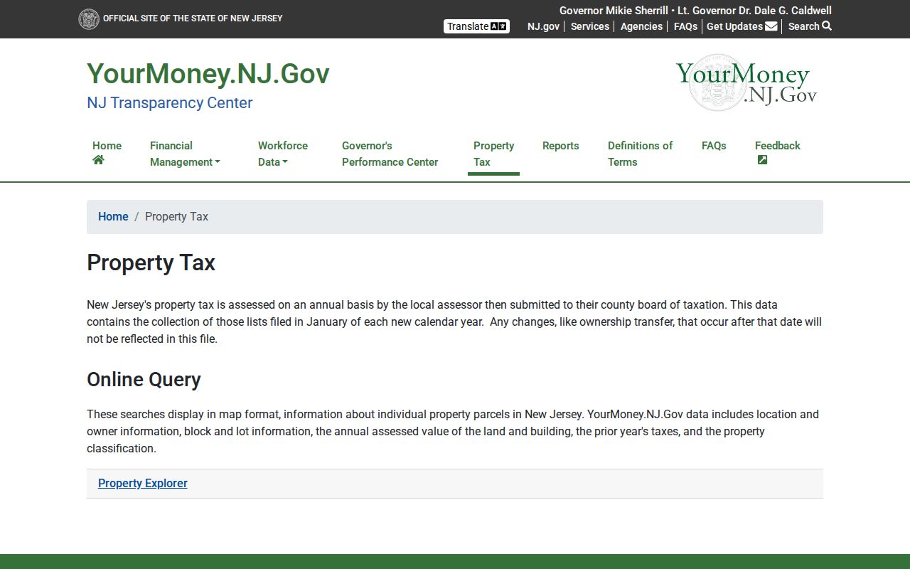
Start with the location and municipality whenever possible. ZIP is optional where a local or statewide search exposes it, and it should narrow rather than replace the Englewood municipality choice. A parcel found through a postal filter can still require a map check before it is assigned to a city neighborhood.
Save the result's situs, owner, block, lot, classification, and tax year before changing the search. Situs is the physical parcel location. A mailing address is where tax correspondence goes and can be outside Bergen County or New Jersey, so it is not proof of occupancy. Englewood Tax Assessor Patrick Wilkins is listed by the county at 201-871-6621 ext. 712 for a current card, tax-map clarification, and field questions that the public display does not answer.
| Property-search field | Entry type | ZIP-aware use |
|---|---|---|
| Municipality | Dropdown | Select Englewood to establish the legal local filter. |
| Property location | Text | Enter number and street, then check its ZIP as part of the result. |
| ZIP | Optional text where offered | Use 07631 as a postal filter, never as the city-limit key. |
| Owner name | Optional text | Test exact surnames and entity names after identifying a parcel. |
| Block and lot | Text or number | Use the durable parcel key to compare map and deed information. |
| Tax year and map click | Dropdown and map control | Read the annual date and select a parcel when the address is unclear. |
The search-field names and available filters can change in the live system. The research confirmed these practical keys, but did not verify a fixed public ZIP-control inventory for the county GIS wrapper. When an address gives competing results, map-click the parcel and compare the municipality, block, and lot instead of guessing from a postal name.
Search an Englewood ZIP Code
A ZIP narrows the first pass, but the official systems do not all use it the same way. The county tax and state property tools can use an address or location search, and some local searches expose ZIP as an optional field. The Bergen County GIS wrapper does not publish a confirmed ZIP-field inventory. The state voter check is based on the person, city, and county, while the County Clerk land search is built around parties, dates, documents, and legal descriptions rather than a ZIP-wide browse.
- Verify the delivery address and postal label through the USPS location and ZIP tools.
- Search the property record with Englewood, the street address, and 07631 when a ZIP field is offered. Capture block and lot with the result.
- Open the Bergen County Parcel Viewer and confirm the municipality and parcel geometry. The viewer is map-oriented and should not be treated as a survey.
- Use the block, lot, owner, or legal description in the Bergen County Clerk land-record search when a recorded-transfer question remains.
- For a specific person's own registration status, use the NJ Voter Search. It is not a ZIP or street browsing tool.
Once a ZIP has narrowed the area, the Englewood street directory provides the address-to-parcel and deed sequence. A ZIP-wide property result does not identify every person receiving mail or living in the area.
The state voter search asks for an individual's identifying details and city or county context, not a ZIP-wide filter. Closely match spelling, including hyphens, spaces, married names, middle initials, and the difference between a formal first name and a nickname. A voter who needs a broader regulated record route can contact the Bergen County Commissioner of Registration. Under N.J.S.A. 19:31-18, a voter may request an electronic or list copy at reproduction cost, capped at $375; signatures and protected addresses are excluded, and solicitation is prohibited.
Englewood ZIP Code City Limits
Postal geography and municipal geography have different functions. USPS uses a ZIP to support delivery. The tax and GIS systems identify the legal municipality and parcel. A postal city name can appear beyond a corporate border, and a municipality can contain an address that receives a neighboring postal label. No official, parcel-by-parcel inventory of local ZIP and city-line mismatches was located in the research, so no mismatch list should be assumed.
For a question about city jurisdiction, select Englewood in the property or GIS system and check the parcel's block and lot. For a question about delivery, verify with USPS. For title history, rely on the deed's legal description and referenced map. A voter ward or election district is another separate geography and should not be substituted for a ZIP or a property boundary.
Englewood's four wards are election geography, and district assignments can change after redistricting. The city was also shaped by earlier municipal divisions, so an old “Englewood” place reference may be broader than today’s city. Those facts make a parcel-based municipal check more dependable than any broad geographic label when the purpose is to locate the correct public record.
Postal label versus legal location. 07631 is the confirmed primary Englewood ZIP, but a ZIP result should be checked against the municipality and parcel record before it is used to describe a city location.
Englewood ZIP Code Record Keys
Keeping each address key separate avoids a common search error. The ZIP code is a delivery label. The situs is the physical site. A mailing address is a correspondence clue, and the legal description controls a historic land identity when a street number is absent or changed.
- ZIP code
- A postal delivery area. The confirmed current city ZIP in this research is 07631.
- ZIP+4
- A more specific postal suffix. USPS lists 07631-9998 for the Englewood Post Office and 07631-9991 for the Englewood Annex.
- PO-box ZIP
- A ZIP used only for post-office boxes. No verified Englewood PO-box-only ZIP was found in the USPS result.
- Unique ZIP
- A code assigned to one large organization or institution. No verified Englewood unique ZIP was located.
- Carrier route
- A mail-delivery route used by USPS. It is not a municipal boundary, tax parcel, or list of residents.
Block and lot are more durable land keys through a changed postal label, address change, or subdivision. The situs gives the physical parcel; the mailing address can differ and does not prove who occupies that site.
Englewood ZIP Code History
Modern postal labels should not be projected back onto old Englewood records. The city was laid out around six farms and registered in 1859, followed by the 1871 township division. Teaneck separated in 1891, Englewood Cliffs in 1895, and Englewood completed incorporation in 1899. Those changes help explain why an old record may use a wider “Englewood” area than a current city search.
The 1900 Tillotson Englewood & Northern Valley directory and the 1959 and 1961 Englewood telephone directories predate or do not rely on modern ZIP searching. Pair a historic street and municipality label with the block, lot, map, or deed description when available. No verified Englewood ZIP split, realignment year, or postal-boundary change was found, so it would be inaccurate to invent one from a modern mismatch.
Note: A historic directory is an address and subscriber source, not evidence that a current ZIP applied at the time.
Englewood ZIP Code Limits
A postal directory can organize this research, but it cannot create a complete resident list. A ZIP-wide assessment search, where supported, returns parcel and owner information rather than every person at an address. It can include addresses outside a desired neighborhood. The public voter tool cannot browse by ZIP, and the Bergen Clerk deed index is not a resident search organized by postal code.
For historical research, use the ZIP only as a present-day orientation clue. Old deeds may use metes and bounds, a subdivision name, or block and lot. Historic directories use street and place labels. The Bergen County GIS office offers the parcel-viewer route, while the municipal assessor can clarify the current tax card. Respect redactions under Daniel's Law and the New Jersey Address Confidentiality Program; a missing result is not proof that a person or parcel is absent.
Where a municipal file is not posted, New Jersey OPRA, P.L. 2001, c.404, codified at N.J.S.A. 47:1A-1 et seq. and amended by P.L. 2024, c.16, provides a route to ask the correct custodian for an existing, specific record. Name the address, date range, and record type. OPRA does not require a city office to build a ZIP-wide list, and protected information may be redacted from an otherwise available record.